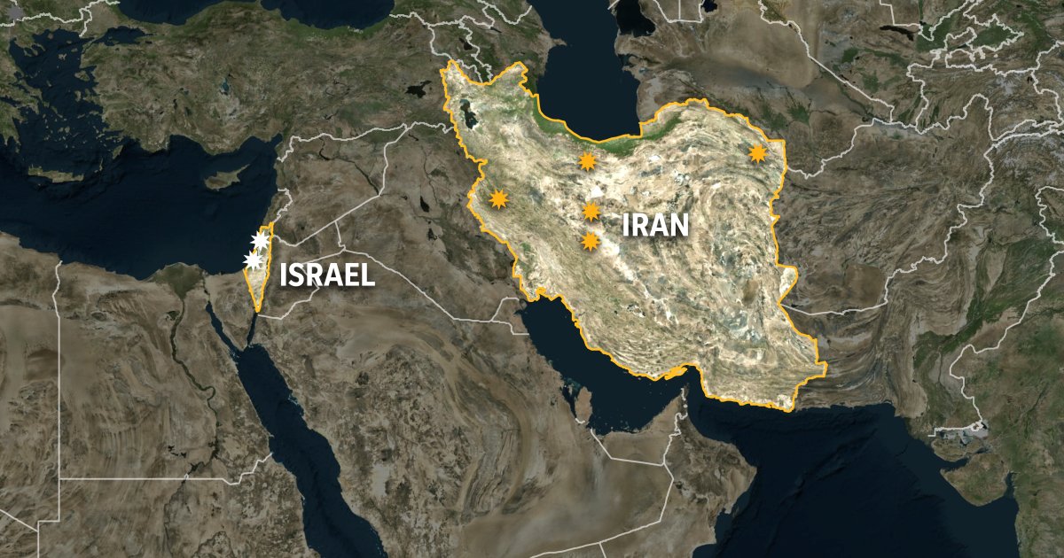
Recent satellite images have revealed notable damage at three Iranian military sites, including an air defense location near Tehran and two sites near the city of Isfahan. The images, captured by the "Sentinel-2" platform between March 17 and April 3, 2026, show clear changes compared to earlier images taken on February 25 and March 29.
The open-source team at Al Jazeera conducted a visual analysis of the images, identifying multiple points showing signs of damage or penetration at the three sites. These damages indicate a continuous pattern of precision targeting affecting Iranian military facilities.
Details of the Event
At the two military sites near Isfahan, which are approximately 17 kilometers apart, images taken on April 3 showed clear changes and damage at several points. At the first site, damage was concentrated in the center and southern parts of the complex, while the second site exhibited damage at multiple points within an area containing storage facilities and scattered installations.
Both sites feature a similar military architectural design, situated in a mountainous area with fortified installations and underground facilities, with buildings spread out at varying distances within each site. These characteristics reflect the strategic importance of the locations.
Background & Context
As for the site at Azimabad near Tehran, a comparison between images taken on February 25 and March 17 revealed several damage points within the air defense site. The damage appeared to be distributed across various parts and installations, reflecting a pattern of precise and repeated strikes.
Despite the limited resolution of these images compared to higher clarity commercial images, they indicate the ongoing targeting of Iranian military sites across multiple regions during the period covered by the comparisons. This targeting reflects a continuous pattern affecting strategic installations in Iran.
Impact & Consequences
In a related context, satellite images captured by the European "Sentinel-2" satellite on April 3, 2026, revealed damage within the Shiraz Electronic Industries complex belonging to the Iranian Ministry of Defense. Clear signs of destruction were observed in several buildings and facilities within the site, with damage evident at more than seven scattered points.
American and Israeli attacks within Iran have continued since the recent escalation, targeting military and security objectives of a strategic nature. These attacks aim to weaken Iranian operational capabilities and defensive infrastructure, complicating the security situation in the region.
Regional Significance
These developments are particularly significant for Arab countries, reflecting escalating tensions in the region and their impact on regional security. Such pressures may lead to changes in the defense policies of neighboring countries, necessitating close monitoring of events.
In conclusion, these images serve as evidence of the ongoing military targeting of Iran, further complicating the security landscape in the region and reflecting the increasing tensions among major powers.